Contrary to statements made at the time concerning Ireland’s neutrality during World War 2, Ireland did, however, agree to allow incursions into Irish airspace by Allied aircraft. Close to Culdaff Beach in Inishowen, a plaque bears reference to the ‘Donegal Corridor’ where crewmen crash landed in the vicinity on their way back from missions in the Atlantic.
This so-called ‘Donegal Corridor’, was a narrow strip of Irish airspace linking Lough Erne, in Northern Ireland and part of the United Kingdom, to the international waters of the Atlantic Ocean. Soon after the outbreak of World War 2 in September 1939, Ireland declared its neutrality in accordance with the declared neutrality policy.
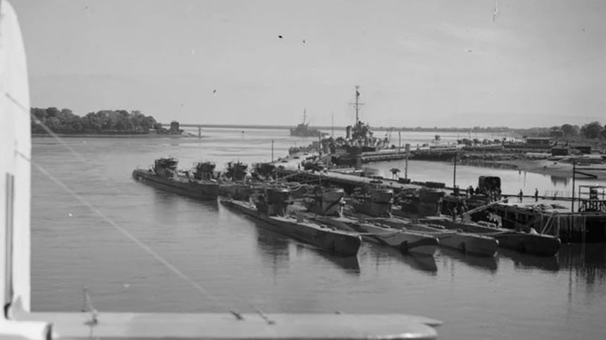
That was the beginning of the ‘Battle of the Atlantic’ where German U-boats attacked Allied shipping convoys, with hundreds of ships sunk and thousands of lives lost.
This was a devastating blow for the Allies and in December 1940, a survey was carried out on Lough Erne with a view to having flying boat bases built there. Being the most western point of the United Kingdom, from there, planes could patrol the Atlantic and this would offer some protection to the shipping convoys against the dreaded U-boats.
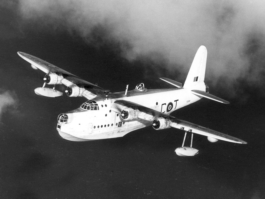
By early 1941, the first flying boat bases were built on Lough Erne. However, they weren’t allowed to fly over the territory of Ireland and this meant they had a longer route to reach the Atlantic by flying north and then turning west into the Atlantic. Limited protection could only be given to the convoys heading for the UK from the US and Canada and the same limited protection from American-based aircraft. Because of this limited protection, there was an area left exposed in the Atlantic where the U-boats could wreak havoc. This area became known as the ‘Black Gap’. America, who was still neutral at the time, began to put pressure along with the British, for Ireland to abandon its neutral policy and join the Allies.
As a result of the pressure, in January 1941, Eamon de Valera, who was the Taoiseach, met with Sir John Maffey, the British representative in Dublin. They reached an agreement whereby Lough Erne- based flying boats were permitted to fly across a 4 mile (6.4km) stretch of neutral territory from Belleek in County Fermanagh to Ballyshannon in Donegal. Through this flight route, they could get quicker and shorter access to the Atlantic Ocean. However, for the Germans, it was only meant to be for search and rescue missions. This new flight route became known as the ‘Donegal Corridor’. The original agreement was soon changed to allow flying boats to carry out missions deep into the Atlantic, the west coast of France and Iceland, to protect the convoys along those routes. Historians say this helped to turn the tide in the ‘Battle of the Atlantic’, which was the longest running battle of WW2. Some 9 U-boats were confirmed to have been sunk by the Sunderland and Catalina flying boats from the Lough Erne base with many others so badly damaged, they had to return to base in France for repairs. Being declared a neutral country during WW2, it didn’t stop over 80,000 Irishmen and women from both sides of the border signing up to fight with the Allies. Between 5,000 and 10,000 were said to have lost their lives in fighting for freedom in Europe.
History Source : Wikipedia
My new novel ‘The Rising Sun of Inishowen’ is available to buy from my website


One response to “What was the ‘Donegal Corridor’ in WW2?”
That was very interesting thank you. I was unaware of the existence of the ‘Donegal corridor’.
LikeLiked by 1 person